| Re: [PHOTOS] Polo Grounds Shuttle - Part 2 (1464585) | |||
|
|
|||
| Home > SubChat | |||
|
[ Read Responses | Post a New Response | Return to the Index ] |
|
||
Re: [PHOTOS] Polo Grounds Shuttle - Part 2 |
|
|
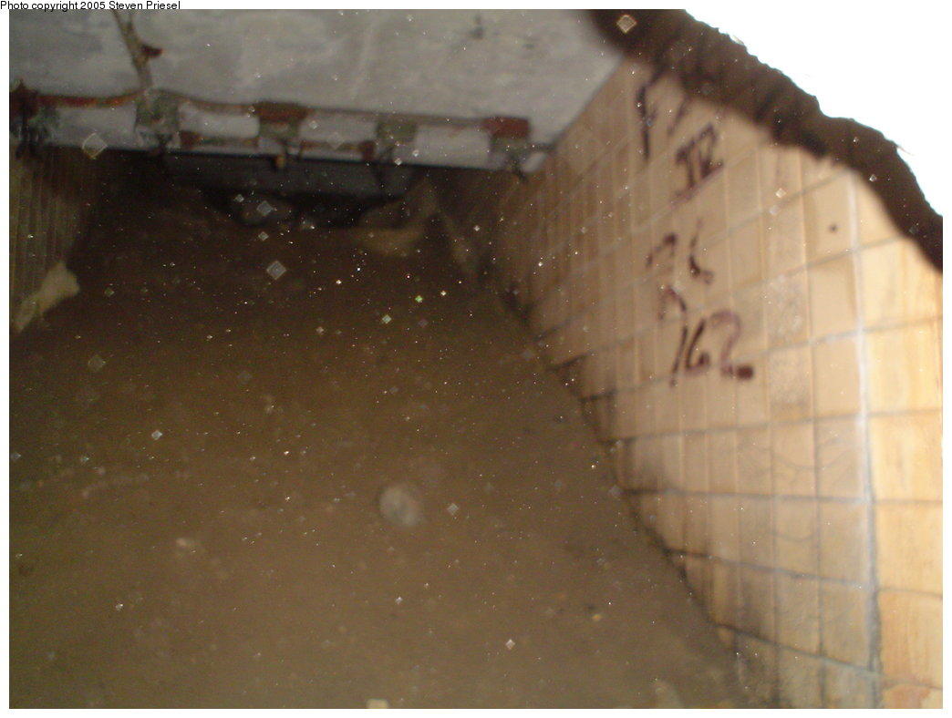
Posted by JOE @ NYCMTS - NYCTMG on Wed Feb 7 00:51:40 2018, in response to Re: [PHOTOS] Polo Grounds Shuttle - Part 2, posted by Bill Newkirk on Tue Feb 6 15:59:02 2018. Hello BillYES...that is the original stairway -- well, an upgraded version of it. The stairway ended at the west curbline of where Sedgwick Avenue originally ended -- now in the middle of the Major Deegan original center lanes (remember, Deegan was widened a bit). When the Deegan was extended north where it passed under the 3rd Ave EL E. 133rd St Express station, to pass where the shuttle went under Sedgwick, the left curb long narrow brick "lobby type" entry building built by the IRT in 1918, was removed and a new station headhouse built along the Manhattan Bound platform where the Put tracks ended at their station and bumpers. On the east side of the still remaining original (even today) sidewalk of the still existing but much narrowed section of Sedgwick Ave, there was installed around 1939, a new "open stairway" subway entrance was built, having the usual steel railings as found in post "kiosk" type entry eras. It went to an underpass to and from the station fare point located in a room at the center of the Manhattan bound Sedgwick Station platform. The you walked from that fare point thru a concrete doorway-portal entrance to the platform, or used the overhead walkway to get to the Jerome bound platform side. That new stairway provision were built as part of the initial original lower Bronx first part of the new Deegan Expressway construction around 1939-40, so then 9th Ave EL passengers passengers would be able to completely avoid "crossing" upon the Deegan Highway entirely. The STAIRWAY which originally went up the Hillside located to, along the south side of the (1918 created) Sedgwick Ave. EL Station platforms, landed level with the Sedgwick Ave. original west-sidewalk - just as seen in foreground in this 1910 photo BELOW, view due west across the original Sedgwick Ave towards the then NYCRR PUTNAM Railroad operated Line to W. 155th St across the river bridge BEFORE the IRT took over the line by 1918.  - This stairway now had to be re-built as part of the Deegan Highway Project, and it was extended upward to a new walkway overpass bridge above the Deegan highway lanes (see in the present aerial BELOW ) with a stairway - ramp southward angling southward down to a new sidewalk along the S/B Deegan Highway curb lane as seen here in this more angled view LINK BELOW from the Metro North tracks. (1) - NOTE: In the aerial image BELOW, notice the concrete / stone original stairway downhill from W. 161st Street --- you took that down to Sedgwick Avenue easterly sidewalk, then crossed the Avenue, and went to the stairway along the Putnam (later IRT) line, going down that steep hillside to the covered bridge to either the Railroad bridge pedestrian south-walkway, or at a left-angle down to the river shore to the boathouses located there . (2) - NOTE: The later added (1939-40) subway entrance open-stairway along the east sidewalk of Sedgwick Ave -- was located about where the large panel of graffiti scrawl is seen on the building wall along the sidewalk https://www.google.com/maps/@40.8308609,-73.9323798,118a,35y,49.51h,18.57t/data=!3m1!1e3?hl=en Here is the Google street view looking south along the original east sidewalk (and its still all original sidewalk concrete) where you can plainly see the newer and wider different color concrete patch-cover which was installed in Sept. 1958 to close off the station entryway and stairs down to the underground passageway and fare paying area. I used this entryway a few times long ago, and remember it well. You can see in the background, the 1939-40 era added footbridge OVER the originally bit narrower, and presently somewhat wider, Deegan Highway. And if you move (scroll) around in the photo with your cursor, you can see how the Deegan was widened in recent decades to claim a significant portion of northbound traffic lanes of the so long ago much wider Sedgwick Avenue !! https://www.google.com/maps/@40.8314444,-73.9318774,3a,49.8y,167h,75.28t/data=!3m6!1e1!3m4!1sfRpoBrExrbwlyMvwsiwcww!2e0!7i13312!8i6656?hl=en Here BELOW is a 2004 photo view, long post abandonment, up the stairway to the East Sidewalk of Sedgwick Avenue showing the entry at sidewalk level concrete-slab covered as seen in above Google photo link. How well I remember this stairway when I used it !  Well, Bill, this should give you a better picture and feel of the area makes me melancholy (heh) in my memories in presenting all this visual material as to realize I was YOUNG wayyyy back then and hung around and visited, utilized, (and took some photos of) everything existing then - but now seen as just dinosaur-like long abandoned and decaying relics of what was SIXTY (a lifetime) and more years ago. regards - Joe F |