| Re: Oddities in an early 1940s Subway Map (1002837) | |||
|
|
|||
| Home > SubChat | |||
|
[ Read Responses | Post a New Response | Return to the Index ] |
|
||
Re: Oddities in an early 1940s Subway Map |
|
|
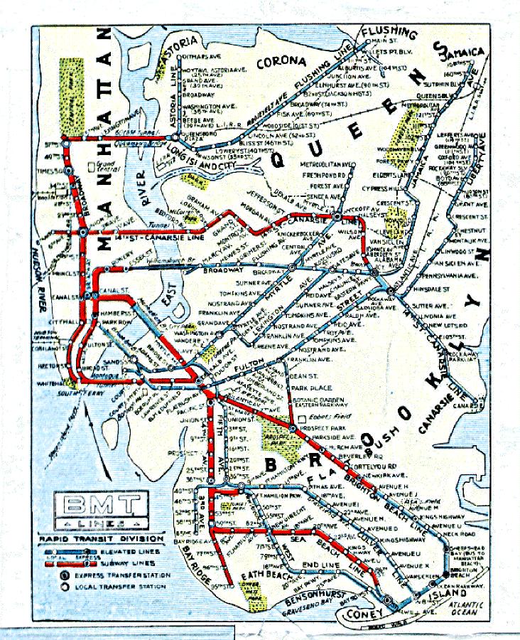
Posted by BMTLines on Sun Nov 14 09:56:40 2010, in response to Re: Oddities in an early 1940s Subway Map, posted by BrooklynBus on Sun Nov 14 09:35:10 2010. If you look at the BMT maps of that period, they too did not differentiate between elevated services vs subway services. Note the lines in blue vs the lines in red and you see the same thing south of Avenue H on the Brighton line. It is in blue which meant that it was physically elevated south of that point. North of that point the line is in red meaning that it is either subway or at grade. I suspect the map makers of the map in question in this thread simply copied the official BMT definitions. In terms of service patterns that kind of differentiation between subway/surface and el really was meaningless but that was for later mapmakers to figure out |
(There are no responses to this message.)